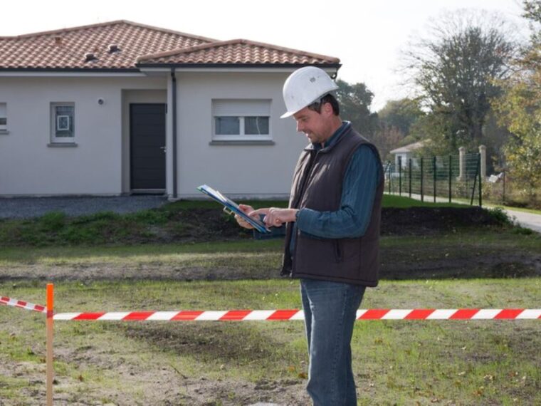
Cadastral surveying is an essential component of land management and ownership, playing a crucial role in determining the legal boundaries of properties. This article will delve into the intricacies of cadastral surveying, its historical significance, and its importance in today’s society, particularly in relation to land ownership.
What is cadastral surveying?
Cadastral surveying is the process of measuring and recording the boundaries, dimensions, and geographical features of land parcels. This discipline integrates law, legislation, and management principles, ensuring accurate descriptions of land ownership. It goes beyond mere measurement; it establishes a system that underpins land tenure and fosters sustainable development.
The history and evolution of cadastral surveying
The origins of cadastral surveying can be traced back to ancient civilisations. The Egyptians recorded land ownership in hieroglyphics as early as 3000 BC, aiming to maintain control over their agricultural land. Similarly, in ancient Rome, detailed records helped manage land distribution and taxation.
Over the centuries, cadastral systems evolved significantly. The introduction of precise measurement tools and surveying techniques during the Renaissance allowed for more accurate mapping. In the 19th century, with the rise of national governance, comprehensive land surveys emerged in Europe and North America, facilitating modern land ownership paradigms. The establishment of formal land registries during this period marked a pivotal shift, as it enabled governments to maintain systematic records of ownership, thereby reducing disputes and enhancing the security of property rights.
Key principles and techniques in cadastral surveying
Modern cadastral surveying relies on several key principles, including accuracy, consistency, and verifiability. Surveyors employ various techniques such as triangulation and GPS technology to ensure that land measurements are precise and reliable. The integration of Geographic Information Systems (GIS) allows for the visualisation and analysis of land data, enhancing the effectiveness of surveys.
Moreover, cadastral surveys must comply with legal standards, ensuring that the documentation and reporting reflect the true state of land ownership. This adherence to regulations is critical for the legitimacy of land titles and the resolution of disputes. The role of cadastral surveyors extends beyond mere measurement; they often engage with local communities to educate them about land rights and the importance of accurate land records. This community involvement is essential, as it fosters trust and cooperation, ultimately leading to more effective land management practices that benefit both individuals and society at large.
The role of cadastral surveying in land ownership
Cadastral surveying plays a pivotal role in establishing and maintaining land ownership. By providing a clear and legally recognised depiction of property boundaries, it serves as the foundation for land-related rights and responsibilities.
Establishing property boundaries
The primary function of cadastral surveying is to define property boundaries accurately. This process often involves field surveys where surveyors physically mark the limits of a property, which are then documented in official records. Clear boundaries are fundamental, not only for owners but also for potential buyers and developers, as they prevent encroachments and misunderstandings.
Resolving land disputes
Land disputes can arise due to boundary ambiguities, ownership claims, or conflicting land uses. Cadastral surveys provide an impartial basis for resolving these disputes, helping litigants understand the exact boundaries of their properties. Armed with accurate surveys, parties can negotiate settlements or present their cases in court, thus fostering fair resolutions.
Facilitating land transactions
The transfer of land ownership—whether through sale, inheritance, or lease—relies heavily on accurate cadastral information. A well-documented cadastral survey assures buyers and sellers of the legitimacy of the transaction. Additionally, banks and financial institutions often require updated cadastral data when processing loans secured against property.

The process of cadastral surveying
The cadastral surveying process is methodical and structured, encompassing several stages. Each stage is critical to ensure the accuracy and legality of land information.
Pre-survey research and planning
Before any physical surveying occurs, extensive research is conducted. Surveyors review historical data, existing land titles, and previous surveys to prepare for the fieldwork. This planning phase helps in identifying potential challenges and streamlining the surveying process.
Fieldwork and data collection
Next comes the fieldwork phase, where surveyors visit the site to carry out measurements. Using various tools and technologies, they collect data on the site’s topography, boundaries, and physical features. This field data is then synthesised for further analysis.
Data analysis and map creation
Once the data is collected, surveyors analyse and interpret the information, creating detailed maps that depict boundaries, contours, and land utilisation. These maps serve as legal documents and play a crucial role in land management and urban planning.
The importance of cadastral surveying in urban planning
Cadastral surveying is fundamental to urban planning, as it informs land use policies and development strategies. Understanding land ownership and boundaries is crucial for sustainable development.
Land use planning and zoning
In urban planning, effective land use planning is vital for balanced growth. Cadastral surveys provide the data necessary for zoning regulations, ensuring that residential, commercial, and industrial areas are appropriately designated. This helps prevent land use conflicts and supports urban sustainability.
Infrastructure development and public works
In addition, cadastral surveying underpins infrastructure projects such as roads, public transport systems, and utilities. Accurate land records ensure that developments are legally compliant and address community needs effectively.
Challenges and future trends in cadastral surveying
Technological advancements in cadastral surveying
With advancements in technology, the future of cadastral surveying looks promising. The integration of drones, satellite imagery, and AI-driven data analysis is set to enhance accuracy and efficiency in surveying processes. These technologies will also facilitate quicker updates of cadastral records, ensuring they remain relevant and reliable.

Legal and ethical considerations in cadastral surveying
As the field evolves, legal and ethical considerations must be addressed. Issues like data privacy, accuracy, and professional integrity remain paramount. Establishing ethical guidelines and robust legal frameworks will be essential to navigate the complexities of land ownership and protect the rights of all stakeholders.
In conclusion, cadastral surveying is vital for establishing land ownership, resolving disputes, and facilitating urban development. As technology continues to advance, the field is poised for further growth and transformation, ensuring accurate land records for future generations.
More to Read : The Value of a Contour Survey Plan in Landscape Design


